In the field of land surveying, technology is playing a transformative role, making the processes more efficient and accurate. The remarkable advancements in latest years include the integration of Scan to CAD and Scan to BIM Services. This technology combines 3D scanning with CAD and BIM to produce a highly detailed and precise digital representations of the physical landscapes. For land surveyors, architects and engineers, understanding the benefits and applications of these can dramatically enhance the project outcomes. However, it’s also crucial to address the challenges associated with its implementation and explore future developments and trends in this dynamic field. In this blog post we will only take a look at the power of Scan to CAD in the modern land surveying.
What is Scan to CAD?
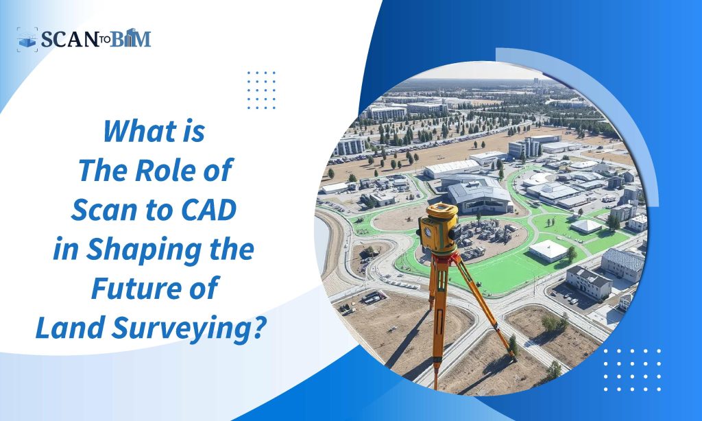
Scan to CAD refers to the process of converting 3D laser scans into CAD models. This involves using 3D laser scanners to capture the detailed measurements of the physical environments. These are then translated into the CAD software to create precise digital models. The models can represent anything from the simple terrain features to the complex building structures thereby providing a comprehensive view that is crucial for effective planning and designing.
Benefits for Land Surveying
1) Enhanced Accuracy and Detail
The major benefit of Scan to CAD technology is the level of accuracy it holds. Though the traditional land surveying methods were more reliable but often faced limitations in capturing the complex or the intricate details. The 3D laser scanning additionally can capture millions of data points in a single scan itself thereby providing a highly accurate and detailed digital representation of the surveyed area.
This level of precision is invaluable for tasks such as topographic mapping as it helps to ensure that the final CAD models are true to the physical environment.
2) Time Efficiency
Time is a critical factor in land surveying projects and Scan to CAD Services can significantly reduce the time required for data collection as well as the processing. Traditional surveying techniques can be both labour-intensive and lengthy particularly on large sites that are complex. With 3D laser scanning, the surveyors can quickly gather the comprehensive data which is then rapidly processed into CAD models.
This efficiency not only accelerates the project timeline but also allows for faster decision-making and adjustments.
3) Improved Data Integration
Scan to CAD technology enables more effective integration of different types of data. For example, it allows surveyors to incorporate the existing GIS data, historical records along with the other relevant information into the CAD models. This integration offers a more comprehensive view of the project site which can be crucial for planning and analysis.
4) Enhanced Visualization and Analysis
The CAD models created from the 3D scans offers advanced visualization capabilities. These models can be manipulated and examined from the different angles thereby providing a clearer understanding of the site’s topography and features.
Enhanced visualization is particularly useful for presenting projects to clients or regulatory bodies. This aids in presenting complex information in a more accessible and understandable way.
Furthermore, CAD software often includes tools for analysis such as volume calculations as well as slope assessments which can be critical for various surveying tasks.
5) Future-Proofing Projects
Scan to CAD models can be updated and modified as needed making it easier to accommodate the changes in project scope or design. This future-proofing capability is particularly valuable for long-term projects or those subject to the regulatory changes as it allows for the ongoing adjustments without the need for extensive re-surveying.
Applications in Land Surveying
1) Topographic Mapping
Topographic mapping is one of the primary applications of the Scan to CAD technology. By capturing the detailed elevation data, surveyors can create accurate topographic maps. These represents the natural and man-made features of a site. The maps are essential for understanding the terrain, planning infrastructure along with assessing the environmental impacts.
2) Construction and Infrastructure Planning
For construction projects, the Scan to CAD models provide a detailed foundation for planning as well as design. They enable surveyors and engineers to visualize the site’s existing conditions, identify potential challenges and develop accurate construction plans. This is particularly useful for the complex projects such as urban redevelopment or large-scale infrastructure projects.
3) Historical Preservation
In the field of historical preservation, Scan to CAD technology plays a crucial role in documenting and conserving the heritage sites. The detailed digital models created from the 3D scans can be used to study and preserve the historical structures.
4) Environmental Studies
Environmental studies benefit from the precise data provided by Scan to CAD services. The technology enables for the minute analysis of natural features such as vegetation, waterways as well as the landforms. This data is crucial for conducting environmental impact evaluations, conservation planning and natural resource management.
Implementation Challenges
Despite its advantages, implementing Scan to CAD services can come with several challenges:
1) High Initial Costs
The initial investment for 3D laser scanning equipment and CAD software can be substantial. For smaller scaled firms or projects with tight budgets, these costs can be a major obstacle. Furthermore, ongoing maintenance and software updates can contribute to the overall expense.
2) Data Management and Processing
Managing the large volumes of data produced by the 3D laser scanners can be overwhelming. Data storage, management along with processing requires a robust IT infrastructure along with the particular skillset. Ensuring that the data is appropriately processed and converted into usable CAD models can be time-consuming and complex.
3) Integration with Existing Systems
Integrating Scan to CAD outputs with the existing systems and workflows can pose challenges. Ensuring compatibility with the other software and data formats along with aligning the new processes with established practices requires careful planning and coordination.
Future Developments and Trends
The field of Scan to CAD is continuously evolving with several emerging trends and developments shaping its future:
1) Advancements in Scanning Technology
The ongoing advancements in the 3D scanning technology promises even higher accuracy, faster scanning speeds and improved data quality. Emerging technologies such as mobile scanning and drone-based lidar systems are expanding the capabilities as well as the applications of Scan to CAD.
2) Integration with Artificial Intelligence (AI)
AI and machine learning are beginning to play a role in enhancing the Scan to CAD processes. AI algorithms can help automate the data processing, detect and correct errors, and also generate more accurate CAD models. This integration has the ability to systemize the workflows as well as reduce the manual intervention.
3) Cloud-Based Solutions
Cloud computing is revolutionizing the data management and collaboration. Cloud-based platforms allow for more efficient storage, sharing along with processing of the Scan to CAD data. This trend facilitates a real-time collaboration among the stakeholders and enables easier access to the project data from any location.
4) Increased Use of Augmented Reality (AR) and Virtual Reality (VR)
AR and VR technologies are being combined with Scan to CAD models to deliver engaging visualization experiences. These technologies allow stakeholders to interact with as well as explore the CAD models in a virtual environment thereby enhancing the understanding and decision-making.
Conclusion
The integration of Scan to CAD Drafting Services into land surveying represents a significant advancement in the field. By providing enhanced accuracy, efficiency, and visualization, this technology transforms how many surveyors approach the data collection as well as the project planning.
Though there are challenges to overcome such as high initial costs along with the data management issues, the benefits and future developments make Scan to CAD a powerful tool for achieving superior results.